LoRaWAN Livestock Tracking Systems
Why Track Livestock
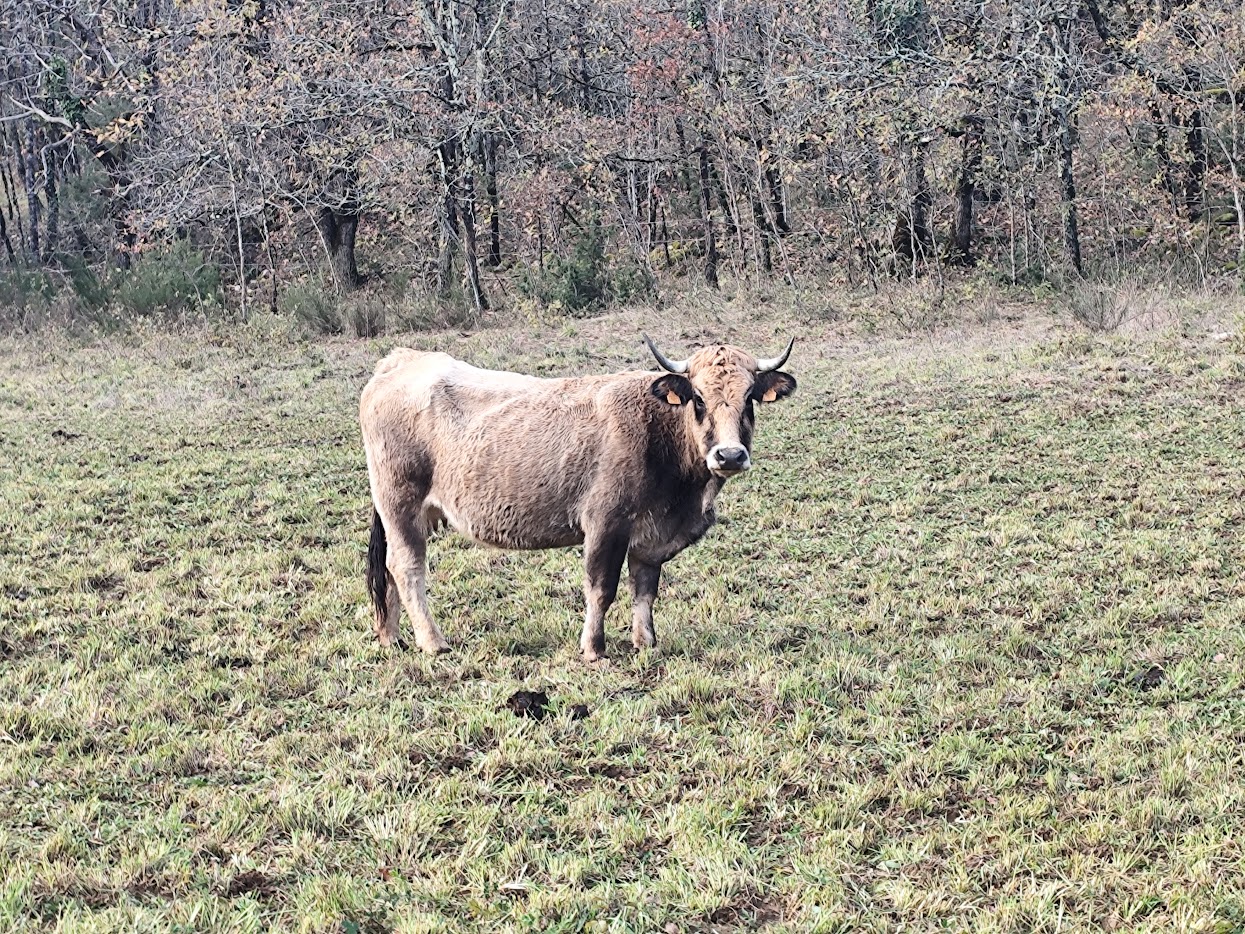
A rancher managing hundreds of cattle across thousands of hectares faces a simple problem: where are the animals right now? Riding out to check takes hours. Fences break without anyone noticing. By the time you discover a problem, it's already expensive.
LoRaWAN GPS/GNSS tracking changes this. You see where herds are grazing, spot animals that strayed through a broken fence, and catch behavioral changes that signal health issues, all from a dashboard instead of a saddle.
The technology works because LoRaWAN provides the range large properties need, measured in kilometers rather than meters, while GPS/GNSS handles positioning. Unlike cellular trackers that drop out in remote areas or charge a monthly fee per device, LoRaWAN runs on your own network with minimal recurring cost.
How It Works
Each device carries a GPS/GNSS receiver that fixes its position from satellite constellations: GPS, GLONASS, Galileo, or BeiDou. Multi-constellation receivers track more satellites at once for better accuracy and reliability, though the environment still matters, since open pasture gives cleaner reception than dense forest or a steep valley. Once the chip has a position, the LoRaWAN radio sends those coordinates to gateways placed across your property, which forward the data over internet backhaul (cellular, fibre, or satellite) to a network server and on to your farm management software or dashboard. A handful of gateways can cover many square kilometers this way.
The one power fact that shapes every other decision: the GPS receiver draws far more than the LoRaWAN radio. Acquiring a fix is what drains the battery, transmitting it costs almost nothing. So battery life is really a question of how many fixes you take per day. Primary lithium cells last months to years depending on that rate, and solar-charged variants with a small panel and rechargeable cell can run indefinitely wherever there is enough sun.
Choosing the Device
The right form factor depends on the animal, its value, and how you handle it.
Compact card trackers like the SenseCAP T1000-E (LoRaWAN edition) are a flexible alternative to ear tags and collars. At 85 × 55 × 6.5 mm and 32 g, the IP65-rated package combines GPS/GNSS (Mediatek AG3335), LoRaWAN on 863-928 MHz (Semtech LR1110), and Bluetooth (Nordic nRF52840), with a 700 mAh rechargeable battery and USB magnetic charging that does away with battery-replacement logistics. Built-in temperature sensing (-20 to +60°C, ±1°C), light detection, and a 3-axis accelerometer come along for the ride, and it operates from -20 to +60°C, which covers most livestock environments. Because it accepts custom firmware, its behavior can be tailored well beyond the stock configuration.
Ear tags attach like a conventional identification tag and suit cattle, sheep, and similar animals, packing a receiver, LoRaWAN radio, battery, and often an accelerometer into a rugged waterproof shell; some take replaceable cells, others charge from solar. Collars trade a larger form factor for more battery capacity and room for solar panels and extra sensors, temperature, accelerometer, even rumination sensing for cattle, and make sense where an ear tag is impractical or where longer life justifies the bulk. Where you only need to confirm an animal reached a known spot, a simple beacon without a positioning receiver costs less and lasts longer, registering presence at a feeding station or water point rather than tracking continuous position.
Range Is About Terrain, Not Datasheets
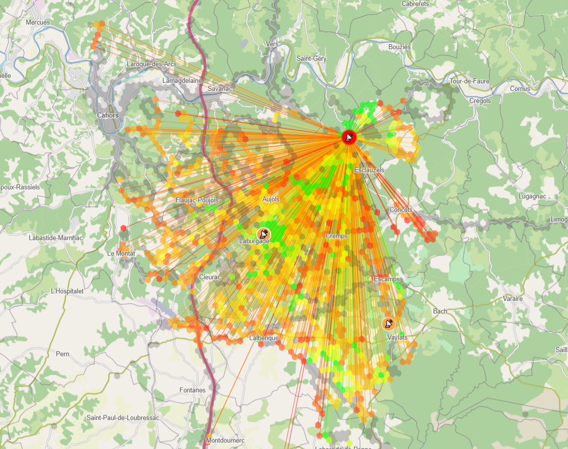
Manufacturers quote double-digit kilometer maximums; real deployments depend almost entirely on the land.
Flat open pasture is the best case, with clear line of sight letting trackers that report every few hours reach a gateway reliably, especially when that gateway sits high on a hill, a building, or a mast. Hilly and mountainous ground is harder, because a ridge blocks the signal between an animal on one side and a gateway on the other, so animals grazing in a valley may go quiet until they climb; mapping coverage before deployment finds those dead zones, and overlapping gateways fill them. Forest cuts both ways at once: the canopy attenuates the LoRaWAN signal and the same tree cover degrades GPS accuracy, since satellites want clear sky.
The practical answer is to field-test before committing. Walk or drive the property boundaries with test devices, log where transmissions succeed, and mark the gaps. Then plan for overlapping coverage rather than pushing each gateway to its limit, because reliability matters more than shaving off a gateway.
Geofences and Alerts
Software draws the boundaries that matter to you: property lines, pasture zones, exclusion areas around sensitive land, or any custom polygon. When a tracked animal crosses one, the system reacts, a property-line breach flags an escape, rotation zones support grazing management, and exclusion zones protect ground you want left alone. Alerts reach you however suits the moment: SMS for anything urgent regardless of internet access, email for daily summaries, app push notifications on the go, or dashboard alerts inside your farm software.
How fast you learn of a breach comes straight back to the reporting interval. Hourly reports catch a fence break within the hour; dropping to every 15 or 30 minutes catches it sooner but drains batteries faster. That is the trade to tune against your operation.
Horse Tracking: High-Value Animals
Horses change the calculus. An individual performance horse, breeding stallion, or competition animal carries enough value to justify per-animal tracking that would never pay on commodity livestock, and owners want both location for theft prevention and activity data for training and health.
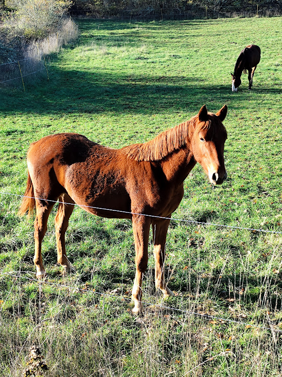
Because high-value horses attract thieves, owners expect near-instant notification if an animal moves unexpectedly, not a periodic herd check, so a 15-to-30-minute update interval gives usable theft detection without punishing the battery, and geofence alerts drive immediate response. The same devices support training: distance covered, speed patterns, and movement intensity tracked across weeks reveal when a horse is under-exercised or behaving oddly, while temperature sensing catches early stress or illness around training and competition. Horses also live in smaller paddocks than cattle, which makes geofencing more practical and grazing patterns easy to read, showing which areas dominant animals claim and where subordinates keep clear. For boarding facilities and riding schools, tracking dozens of animals across paddocks turns "where's my horse?" into a glance at a dashboard, and automated flags for an isolated animal, fence-line pacing, or a long stationary period surface problems early. Mounting suits daily handling: a card tracker like the T1000-E rides in a pouch on a halter or a breakaway safety collar, its IP65 shell handles the weather, and you top up the rechargeable battery during stabling rather than needing the multi-month endurance free-range cattle demand.
Reading Behavior and Health
Location is only half the value. Accelerometer data turns movement into a health signal: reduced activity hints at illness or injury, unusual pacing at stress, and an extended stationary period might mean calving or an emergency, often before anything is visible to the eye. Grazing patterns show which pasture the herd favours and which it wastes, so rotation can follow real behavior instead of a fixed calendar and overgrazing in the popular corners eases. Herd animals congregate by nature, so a tracker showing one individual consistently separated from the group is worth investigating, since predators, injury, and illness all drive isolation. And where devices include a body-temperature sensor, early fever detection and monitoring through calving season add a further layer, most powerful when combined with movement and location into one picture of each animal's status.
Fitting Into Your Systems
Tracking data earns its keep once it joins your records. Most platforms offer an API or export, CSV for spreadsheet analysis, JSON for custom software, and MQTT or HTTP webhooks to push positions into a farm management platform in real time. Linking GPS positions to individual animal IDs ties location to health records, breeding history, and production data in one place, and specialized grazing tools can then calculate grazing pressure per zone and schedule rotations from actual animal distribution rather than a calendar. The same data feeds the economics: grazing days per pasture, feed costs attributed to specific groups, search time saved against the old way, and the value of catching theft faster.
What Trips Deployments Up
A few realities are worth designing around from the start. A GPS cold start after a long sleep can take minutes to reacquire satellites and burns more power than a warm start, so frequent small fixes often beat rare long ones. The battery-versus-frequency trade is fundamental: daily reports stretch to years, hourly reports drain in months, and most operations settle on every few hours as the sensible middle. Rural gateway sites rarely have grid power, so solar gateways with battery backup go up on the high ground and cellular backhaul carries the internet link where broadband won't reach, all needing occasional access for panel cleaning and eventual battery swaps. On herd economics, tagging every animal in a large herd gets expensive fast, so many operations track sentinels, breeding bulls, high-value individuals, and the boundary-patrollers naturally found at the fence line, which indicate overall herd location and flag breaches at a fraction of the per-head cost. And livestock are rough on hardware: tags tear out, collars break, devices get crushed or submerged, so rugged construction reduces failures without eliminating them, and replacement belongs in the operating budget.
Network Architecture
Large properties need several gateways for full coverage, sized to the terrain and the reliability you want, with overlapping coverage giving redundancy so animals near a boundary may reach two gateways at once and the network server picks the best reception. Each gateway needs internet: wired Ethernet near buildings, a 4G/LTE modem for remote sites, or satellite where nothing terrestrial reaches, accepting its cost and latency. For the network server, self-hosting something like ChirpStack almost always wins here, because hundreds or thousands of devices rack up serious recurring fees on a managed platform while self-hosting scales affordably and keeps you in full control. Store the results in a time-series database, InfluxDB handles positions, movement metrics, and sensor readings well, or PostgreSQL with PostGIS when you want geospatial queries, and set retention to keep recent data detailed while ageing older records into aggregates.
What I Provide
I design livestock tracking systems from the terrain up: gateway placement matched to your property, hardware guidance for GPS trackers (ear tags, collars, or beacons depending on the animals), network server setup on ChirpStack or a custom platform, geofencing and alert rules, integration with your farm management software, and dashboards for live monitoring and historical analysis, with training for the people who will run it. You own the source code, the self-hosted infrastructure, the configurations, and the documentation, with no per-device platform fees.
I don't sell tracking devices or push specific hardware brands. I evaluate your property size, terrain, animal types, and operational requirements, then recommend the right tracking approach and build the network infrastructure that makes it work reliably. The goal is practical livestock monitoring that solves real problems, not maximum-spec technology that fails in the field.
Working on a LoRaWAN project?
If this article touches on something you're building, tell me about it. The first conversation is free, and you'll get an honest read on the right approach for your situation.
Book a Free ConsultationCurious what the finished thing looks like? Open the live demo dashboard